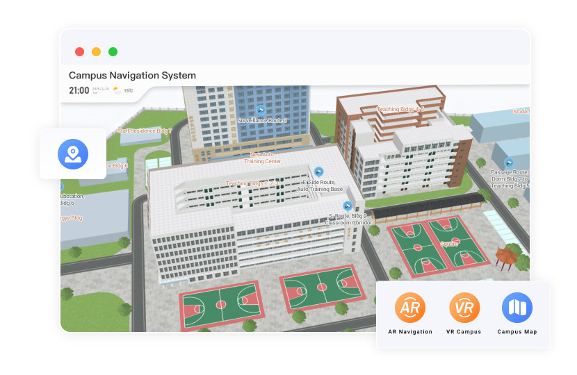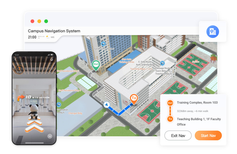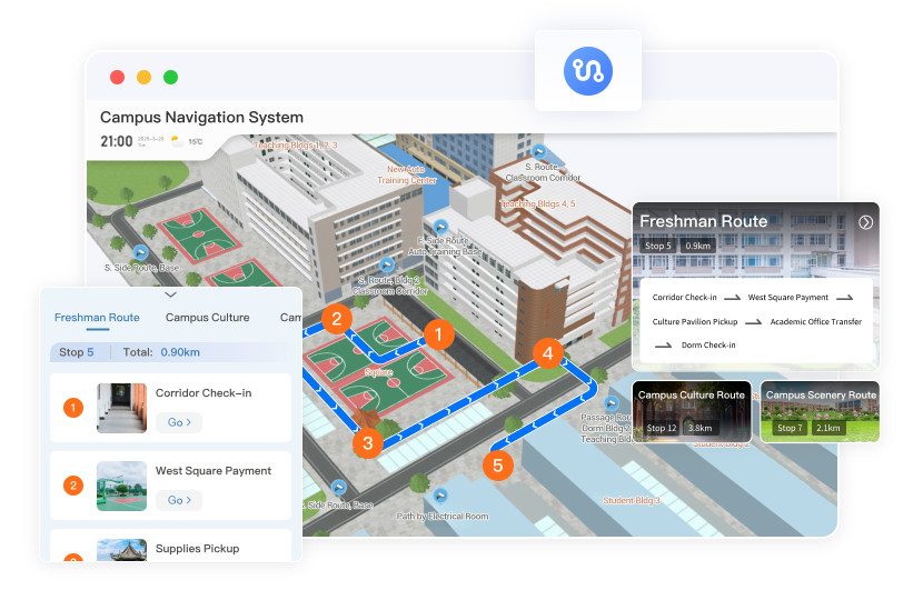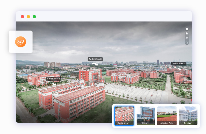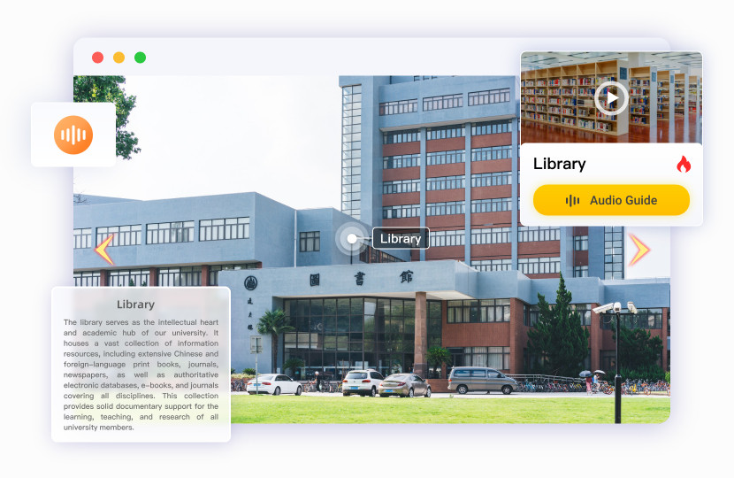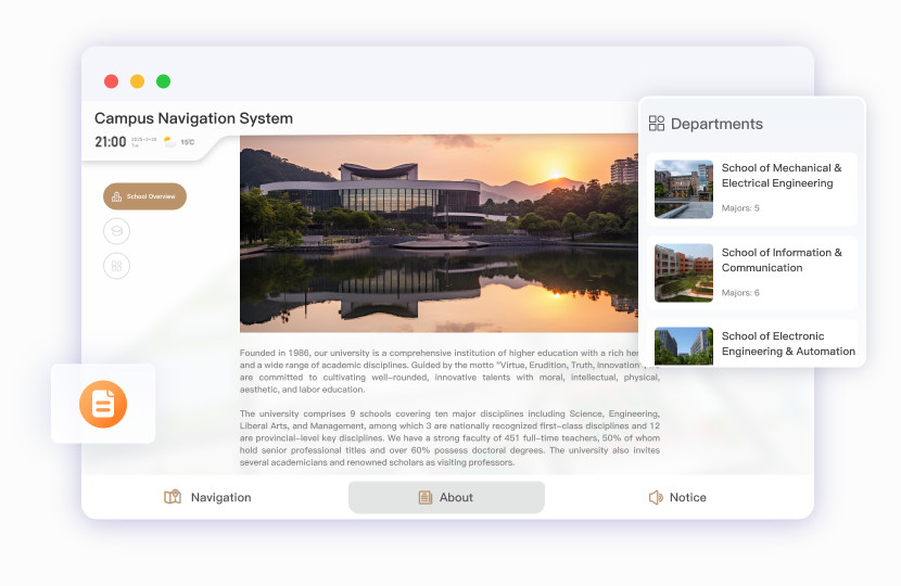
Smart Campus Navigation System
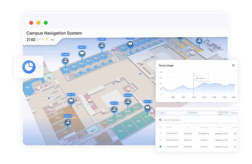
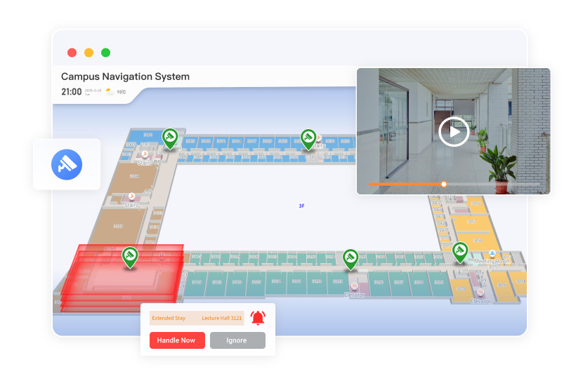
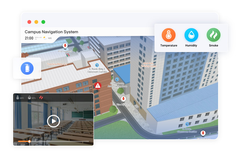
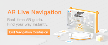
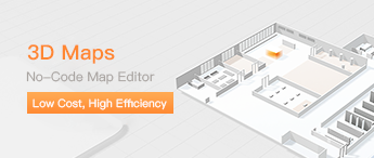
Powered by Weigou’s self-developed map engine, integrating 3D navigation, VR tours, scenic commentary, and visualized control to improve experience, optimize management, and strengthen campus digital presence.
Video DemoLive Demo